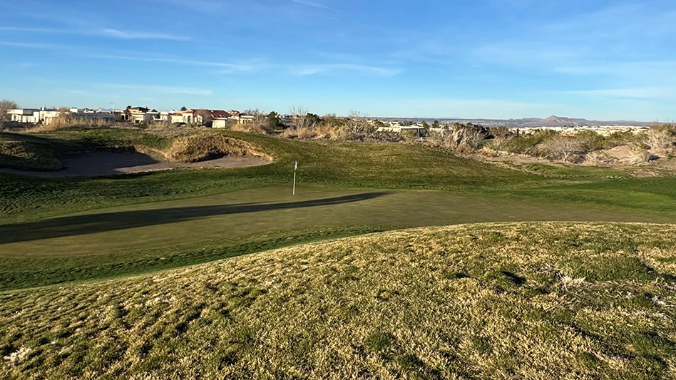
Golf course superintendents are invited to join WinField at the 2015 Golf Industry Show booth #6072 for a free GeoTech Tool mapping session. The WinField GeoTech Tool is a comprehensive precision maintenance system. Using proprietary software to generate satellite imagery, the WinField GeoTech Tool collects and aggregates complete plant health information within a defined area.
Using the easy-to-understand GeoTech maps, WinField specialists can help superintendents identify management zones and build a plan to maximum efficiency, which could result in significant savings on the course. Long term use of this mapping system can also help:
-- Communicate problem areas and solutions
-- Validate management practices
-- Monitor changes over time
Superintendents who join WinField at GIS in booth #6072 and have their course mapped will earn 30 seconds to grab a prize inside the WinField money grab machine.
Mapping sessions planned for GIS
WinField GeoTech Tool uses satellite imagery.